

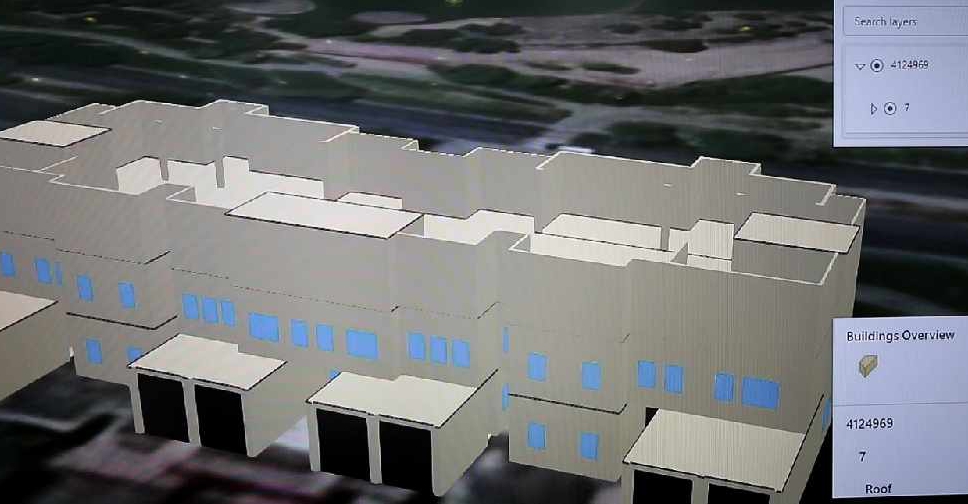
Dubai Municipality has launched an electronic system that provides access to geospatial data and maps of the emirate.
It features digital 2D and 3D replicas of all the landmarks and infrastructure facilities with details ranging from building masterplans and interiors to external green areas, bridges, tunnels and service lines.
The system called ‘Dubai Here’ also provides access to details of housing units and information on economic activity, the environment, health and population.
It’s accessible on a web browser or smart device, and is designed to be easily updated.
The project will help officials with urban planning and managing services related to infrastructure, security and health.
.@DMunicipality launches ‘Dubai Here’, an e-system that provides comprehensive geospatial data and maps of #Dubai https://t.co/91qKK5FAqc pic.twitter.com/ce4aOJHoaB
— Dubai Media Office (@DXBMediaOffice) June 22, 2020
The municipality has also signed an agreement with the Roads and Transport Authority (RTA) for enhanced cooperation in the geospatial infrastructure of Dubai.
.@rta_dubai, @DMunicipality sign geospatial infrastructure service level agreementhttps://t.co/v5YDsQTl7Y pic.twitter.com/fTqOBl4MjY
— Dubai Media Office (@DXBMediaOffice) June 22, 2020


 UAE denounces attack targeting Barakah plant
 UAE condemns drone attacks targeting Saudi Arabia
 Abdullah bin Zayed discusses Barakah drone strike with Arab FMs
 UAE confirms Eid Al Adha to begin on May 27
 UAE says two drones intercepted as third strikes generator near Barakah plant
 Abdullah bin Zayed condemns drone strike in call with IAEA chief
 UAE ranked among world’s top 10 governments in global index
 Abu Dhabi authorities respond to fire from drone strike in Al Dhafra
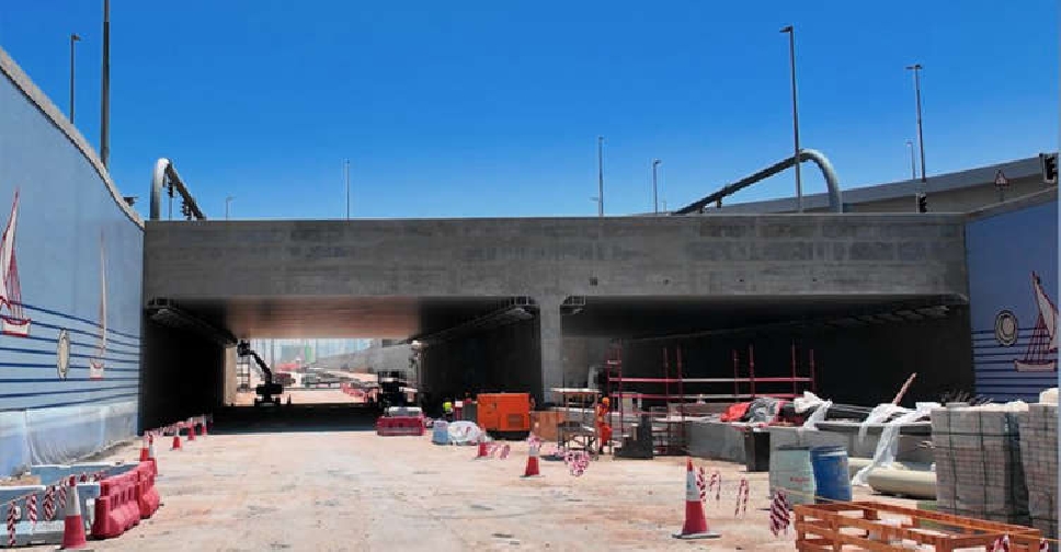 Dubai's Al Khaleej Tunnel Project targets huge cut to travel time by 2030
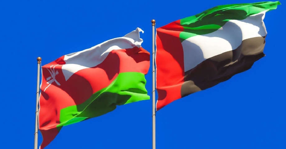 Sharjah launches Oman logistics corridor through land border crossings
 Putin thanks UAE President for Russia-Ukraine mediation efforts
 Dubai Police warns of videos promoting excessive energy drink consumption
 UAE President, Australian Deputy PM discuss defence, regional security
 UAE, IMO discuss Strait of Hormuz shipping security
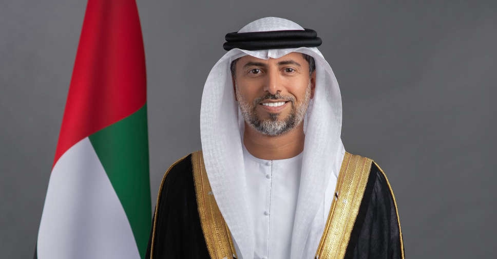 UAE says OPEC, OPEC+ exit was sovereign strategic decision
 UAE, Maldives FMs discuss bilateral ties
 UAE reaffirms it took defensive actions to protect sovereignty, civilians
 Gulf educators gather in Dubai to share teaching and innovation ideas
 UAE refutes Iranian allegations at BRICS meeting
 Dubai to launch drone delivery services at parks, beaches

