

The UAE has completed the trial phase of a project to map agricultural areas using drones.
It's been helping the authorities collect data on farms and greenhouses in the country, as well as livestock population and soil type.
The Ministry of Climate Change and Environment (MOCCAE) is also using the technology to monitor crops and help farmers with forward planning.
The project's pilot phase between August and December in 2018, involved remote sensing and aerial imagery of Wadi Al-aim in Ras Al Khaimah.

 UAE condemns Iranian attacks on Bahrain and Kuwait
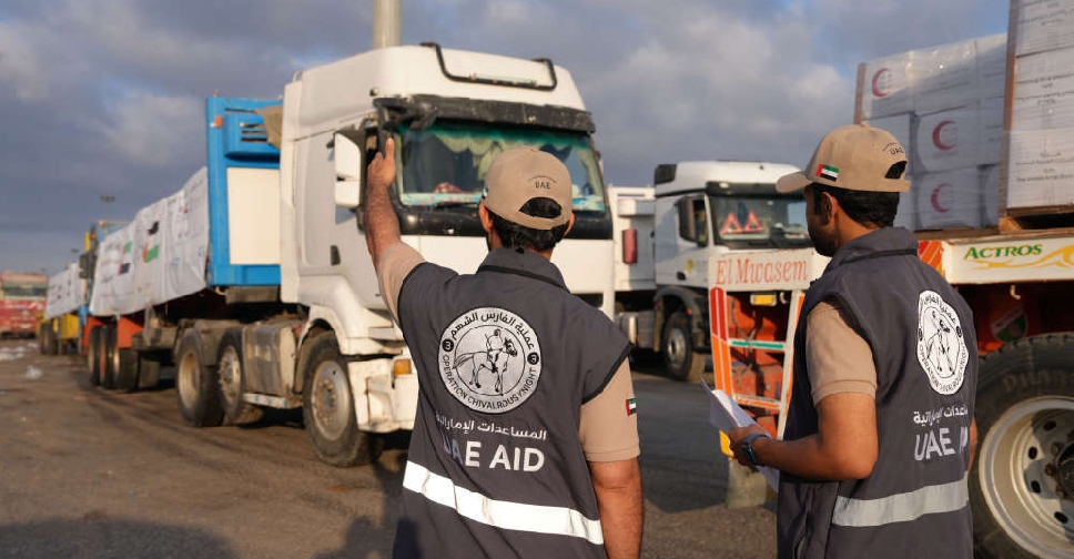 UAE sends more aid convoys to Gaza under 'Operation Chivalrous Knight 3'
 UAE President conveys condolences to Venezuela over earthquake victims
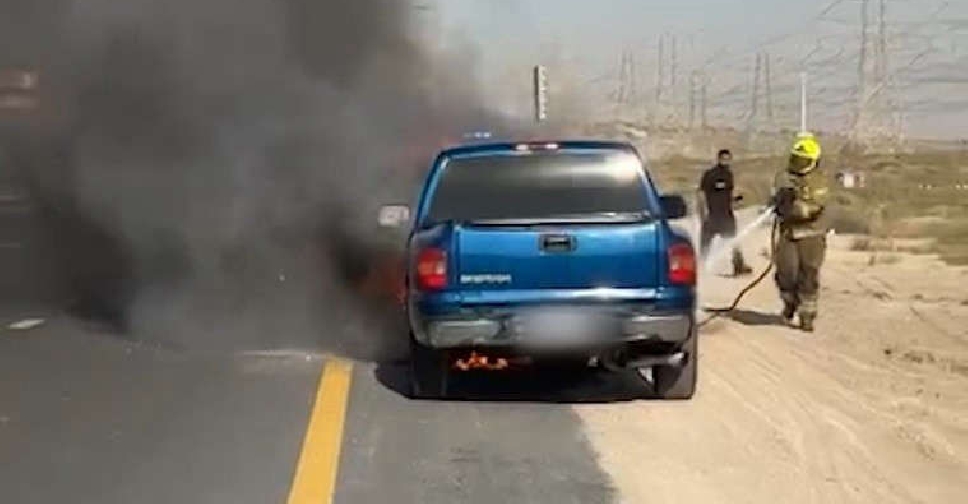 Dubai Police issues summer vehicle safety warning
 UAE soldier dies during training mission
 UAE expresses concern over military escalation in Sudan
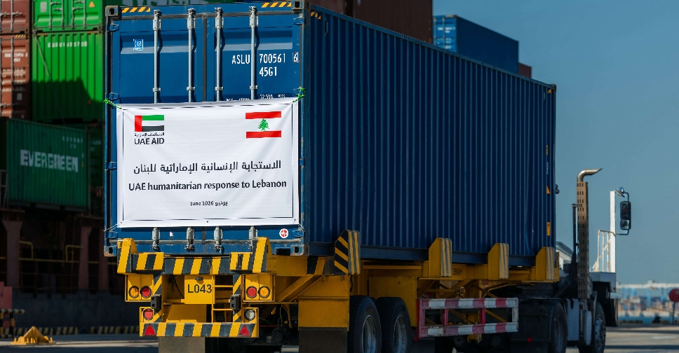 UAE steps up relief aid for Lebanon
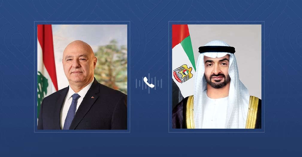 UAE, Lebanese Presidents discuss bilateral ties and regional developments
 UAE welcomes US-brokered Lebanon-Israel framework agreement
 UAE strongly condemns Iranian drone attacks on Bahrain
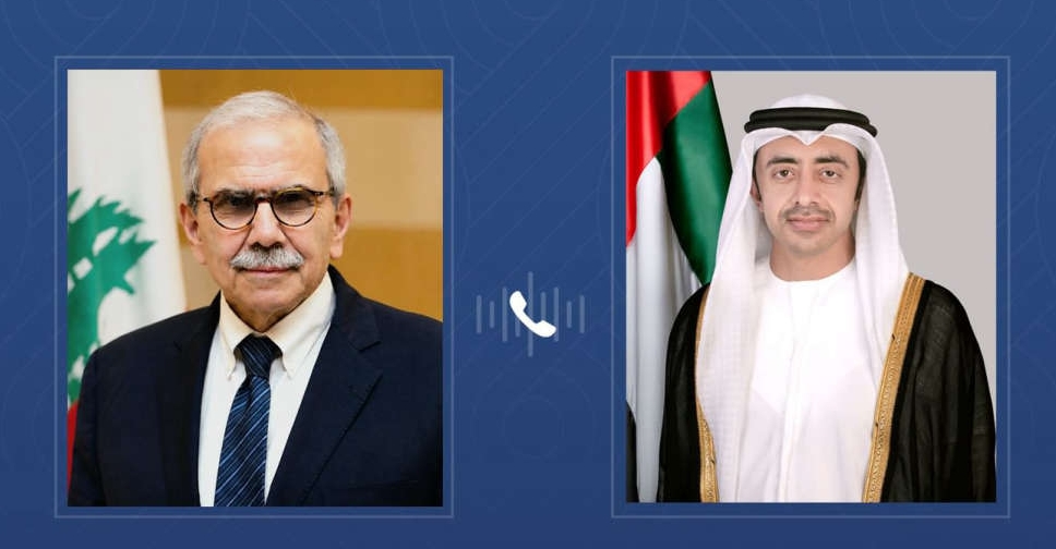 Sheikh Abdullah underscores support for Lebanon's unity during call with Dr. Salam
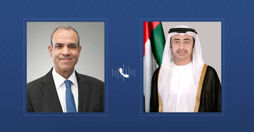 UAE, Egyptian Foreign Ministers discuss regional developments
 UAE confirms technical issue behind incorrect alert messages
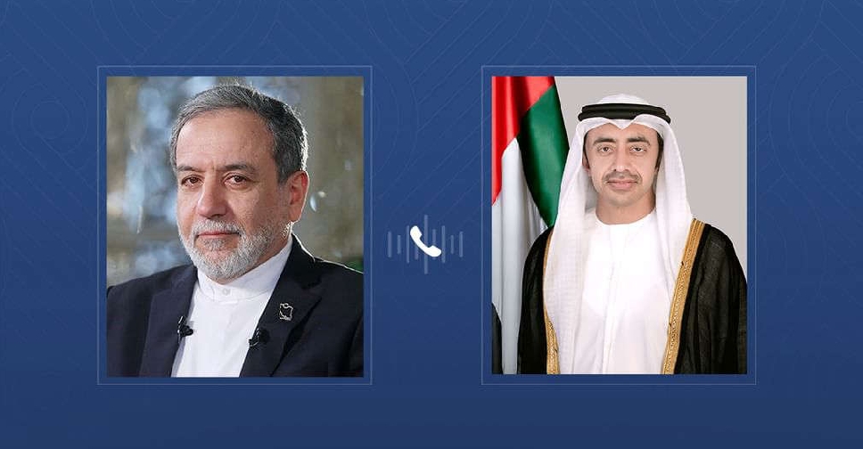 UAE, Iran foreign ministers discuss regional developments
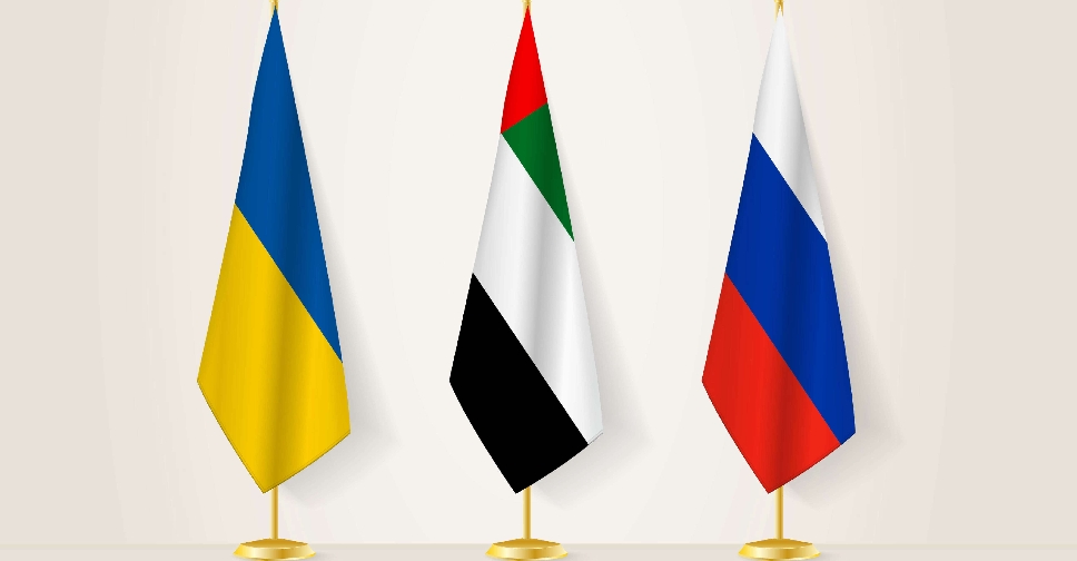 UAE mediates exchange of 320 Russian and Ukrainian captives
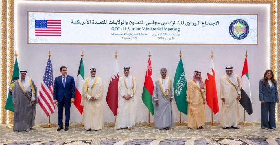 UAE underscores US-Gulf consultation critical in Iran peace talks
 Etihad Rail invites public to choose first passenger in UAE rail history
 Emergency services respond to fire at Abu Dhabi Carpet Souq
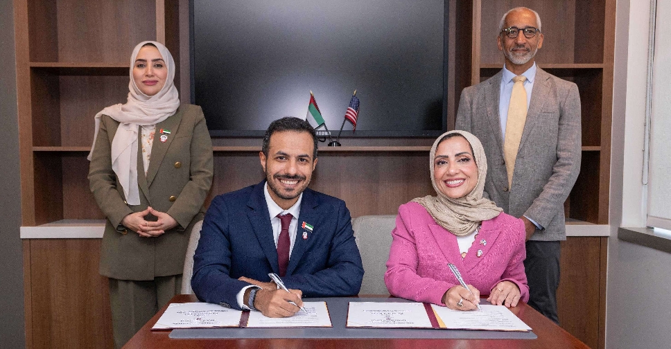 Abu Dhabi-Novartis partnership to boost genomics research, healthcare

