
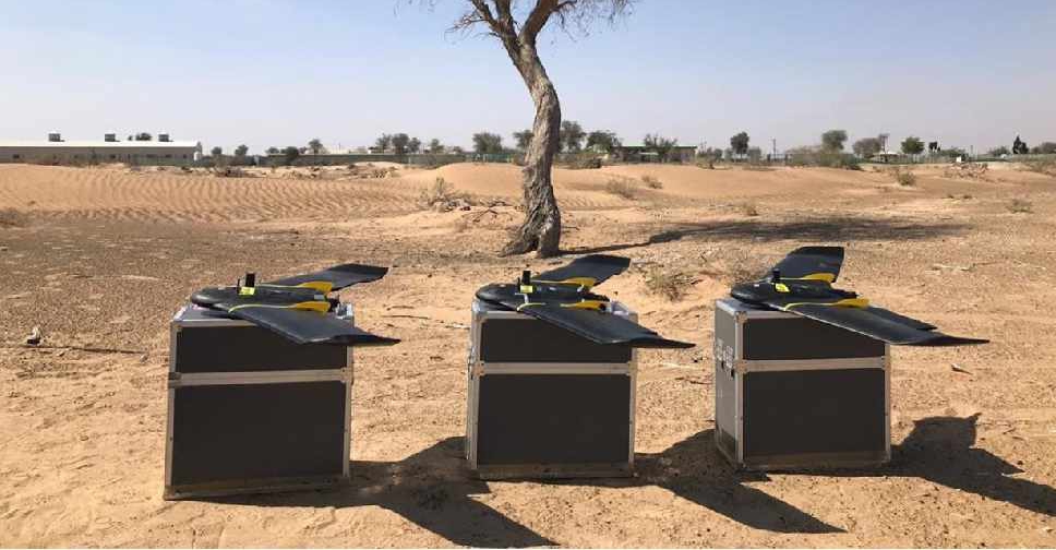
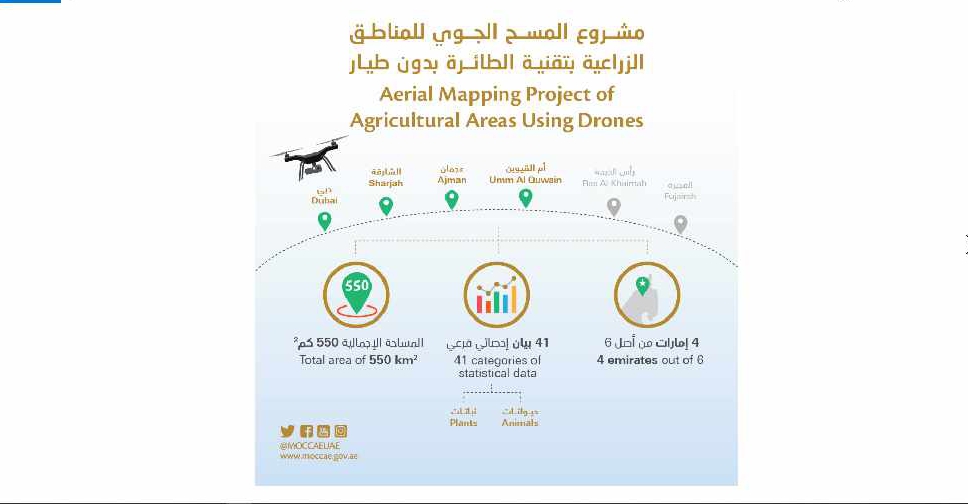
A project to map agricultural areas in the UAE using drones has completed its first phase.
It’s captured around 550 square kilometres of land across Dubai, Sharjah, Ajman, and Umm Al Quwain so far.
The Ministry of Climate Change and Environment will use the data to monitor crops and help farmers with forward planning.
Agricultural areas in Fujairah and Ras Al Khaimah will be mapped in the project's second phase later this year.

 Dubai boosts status as global healthcare hub with strong 2025 growth
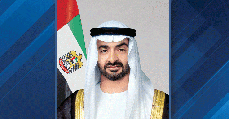
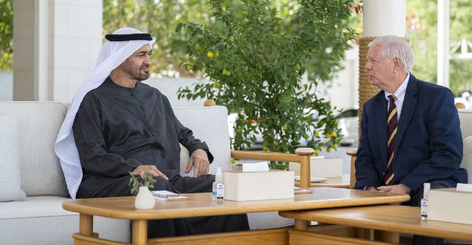 UAE President, US Senator discuss strategic ties
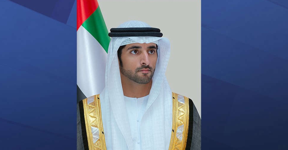
 H.H. Sheikh Mohammed pardons 1,856 prisoners
 UAE President pardons 1,440 prisoners
 Dubai exempts 316 citizens from housing loan repayments
 Here's how you can contribute to UAE's 'Edge of Life' campaign
 Dubai Holding unveils 3rd edition of 'Gift it Forward' Ramadan initiative
 UAE Floating Hospital offers hope to Palestinian child with rare genetic condition
 UAE leaders share Ramadan greetings on social media
 UAE confirms first day of Ramadan
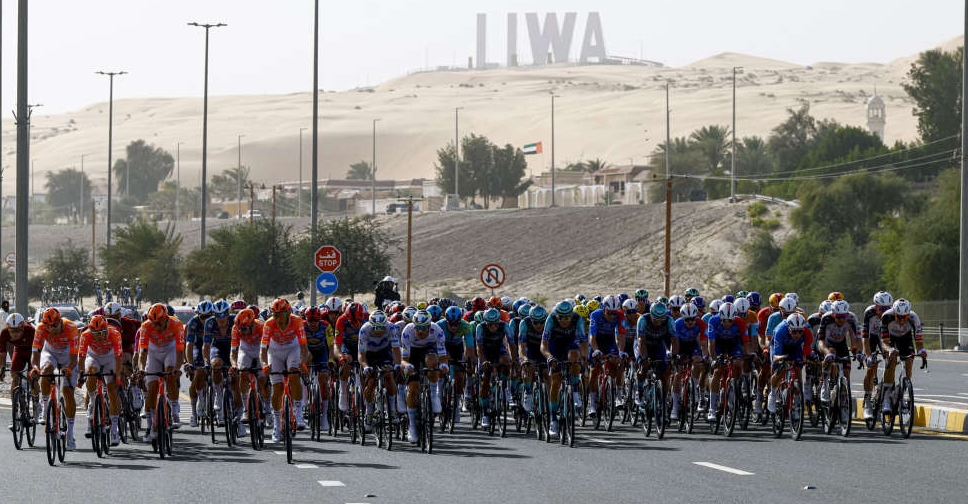 UAE Tour 2026 announces road closures for Stage 3 race
 Dubai adjusts paid parking, Salik hours for Ramadan
 Dubai expands road network with new Al Rowaiyah corridor
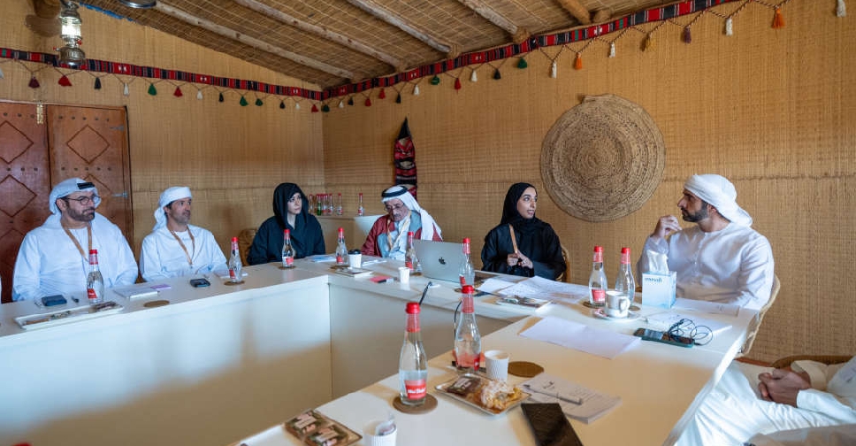 Dubai Camp drives next phase of government innovation
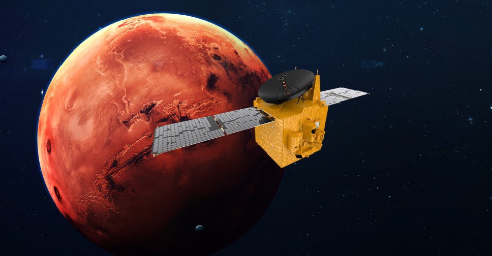 UAE extends Emirates Mars Mission until 2028
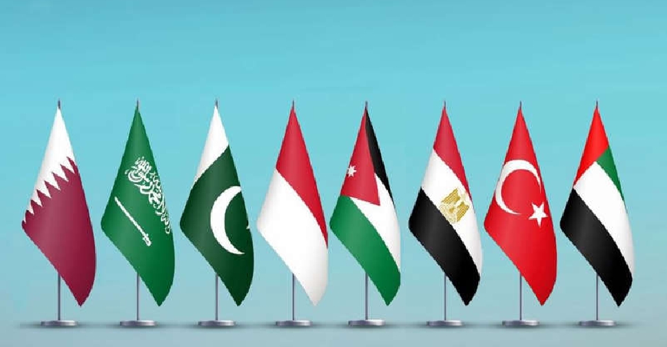 UAE joins 7 nations in condemning Israel's West Bank land registration plan
 Dubai Holding, Nord Anglia Education partner to develop new premium schools
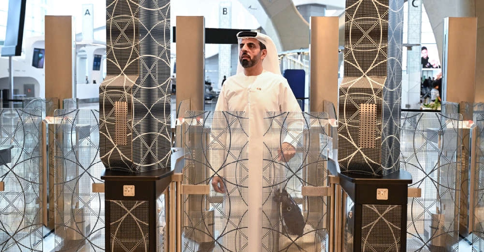 New UAE, Bahrain fast-track travel system takes off
 Dubai's Al Jalila Foundation unveils cancer support fund

