

The UAE has completed the trial phase of a project to map agricultural areas using drones.
It's been helping the authorities collect data on farms and greenhouses in the country, as well as livestock population and soil type.
The Ministry of Climate Change and Environment (MOCCAE) is also using the technology to monitor crops and help farmers with forward planning.
The project's pilot phase between August and December in 2018, involved remote sensing and aerial imagery of Wadi Al-aim in Ras Al Khaimah.

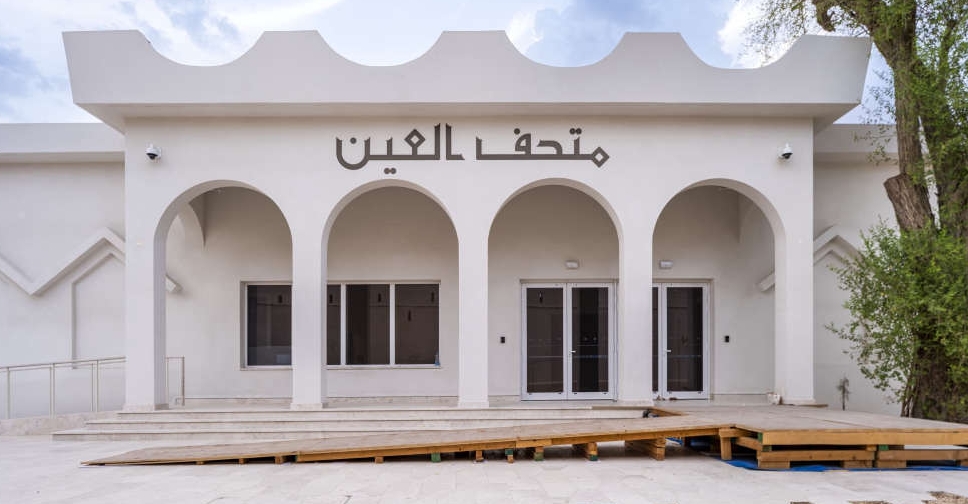 Abu Dhabi identifies over 40 modern heritage sites
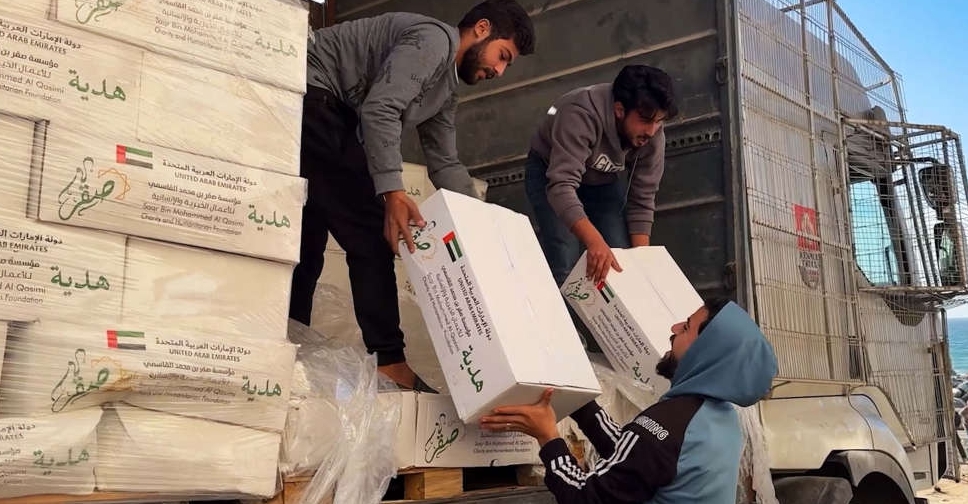 Distribution of aid from UAE's Saqr Humanitarian Ship begins in Gaza
 Dubai to expand bus and taxi lanes as public transport ridership grows by 7.4%
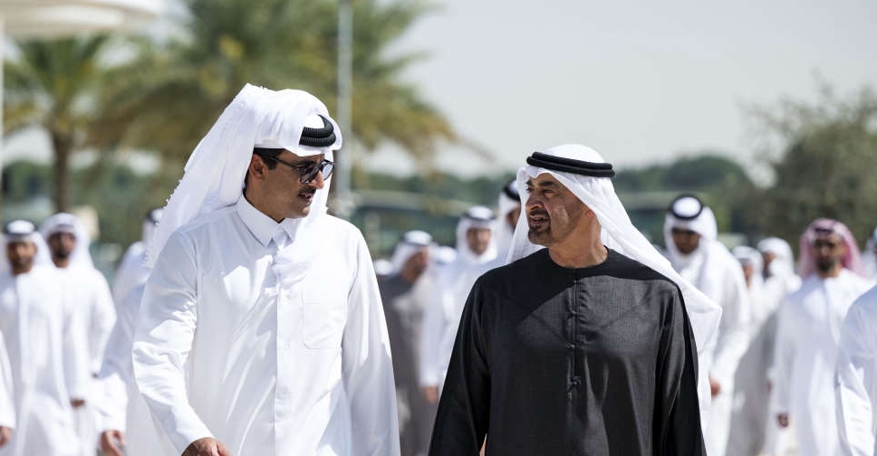 Emir of Qatar welcomed by UAE President on visit to Abu Dhabi
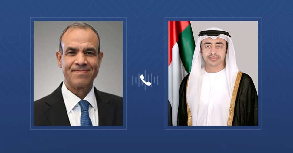 UAE, Egypt Foreign Ministers discuss Gaza peace plan
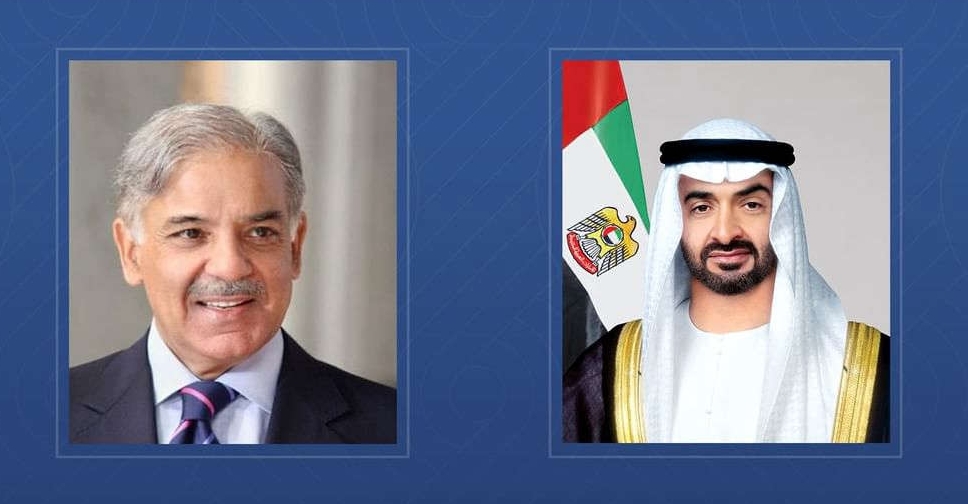 UAE, Pakistan leaders discuss boosting economic ties
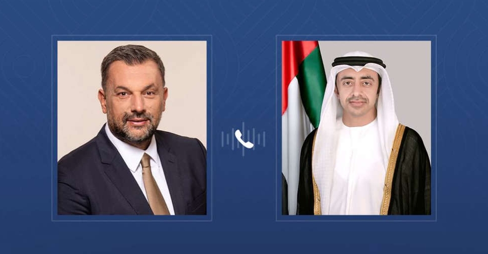 UAE, Bosnia FMs discuss strengthening bilateral relations
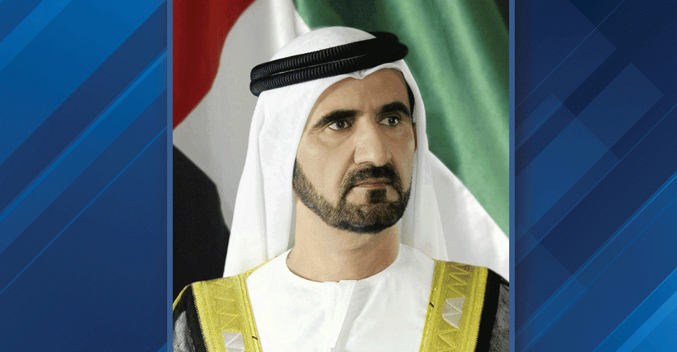 H.H. Sheikh Mohammed launches campaign to rescue 5 million children from hunger
 Dubai advances measures to support people of determination
 Abu Dhabi Crown Prince to lead UAE delegation at AI Impact Summit in India
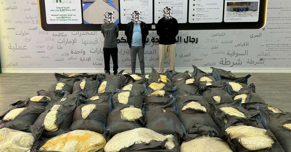 Over 14 million Captagon pills, hidden in grain sacks, seized in UAE–Kuwait operation
 Remote learning on Fridays during Ramadan for UAE public schools
 UAE clarifies enrollment rules for British curriculum schools
 UAE announces temporary road closures in Al Dhaid
 Umm Al Emarat aid ship sets sail for Gaza Strip
 UAE announces Ramadan working hours for private sector
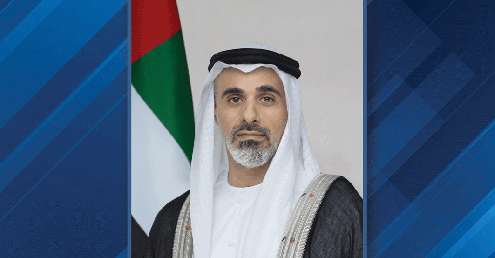
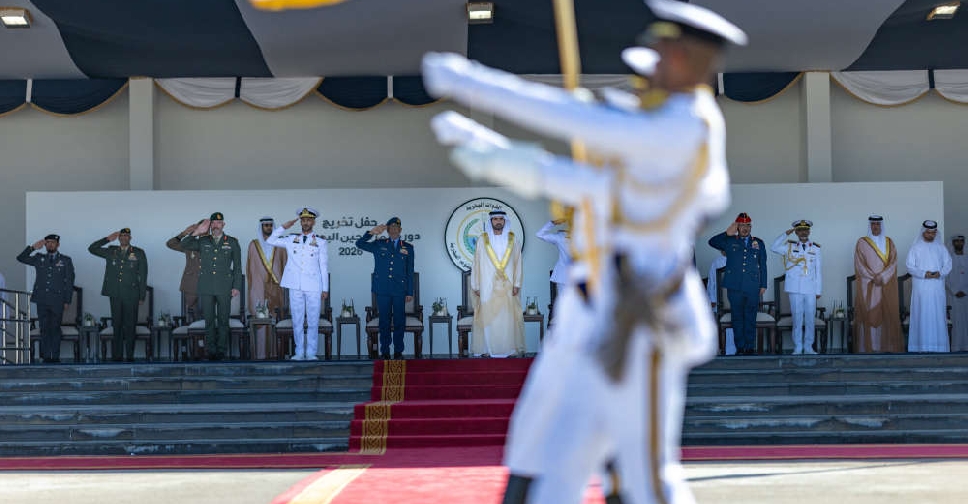 H.H. Sheikh Hamdan highlights nation’s defence vision at naval college ceremony
 Members of UAE's National Identity Committee unveiled
 Ramadan working hours confirmed for UAE public sector
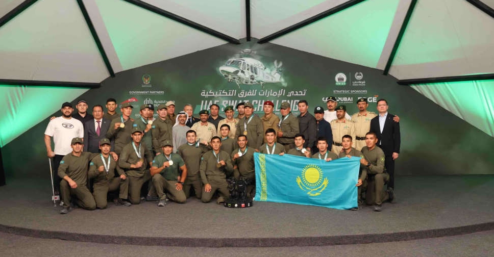 Kazakhstan crowned champions of UAE SWAT Challenge 2026

