

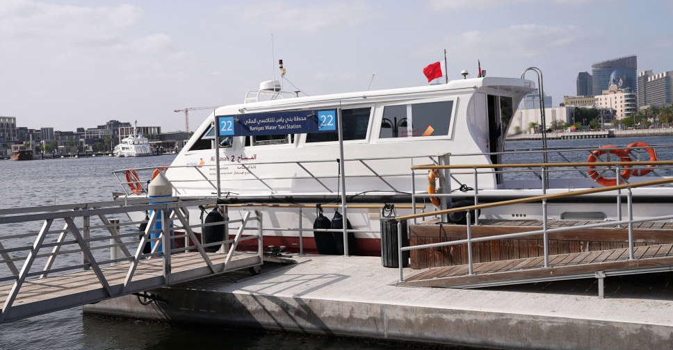
Dubai Municipality has completed a first-of-its-kind survey of the territorial waters of the emirate using a highly advanced vessel.
The initiative aims to develop nautical charts and generate marine infrastructure data that will be used for strategic planning and early warning systems for emergencies and crises.
The survey covered not only Dubai’s coastline and its entire territorial waters but also parts of international waters bordering it.
The boat, with an operational capacity of 72 continuous sailing hours, contains integrated state-of-the-art monitoring systems.
With the completion of the project, Dubai Municipality is set to become the first government department in the country to produce and update nautical charts for associated marine vessels, in addition to providing hydrographic data with international specifications.
.@DMunicipality completes a first-of-its-kind hydrographic survey of the territorial waters of the emirate conducted to generate comprehensive marine data in accordance with the specifications of the International Hydrographic Organization. #Dubai https://t.co/yjX7CuSAzi pic.twitter.com/bqnHPsjpiV
— Dubai Media Office (@DXBMediaOffice) March 22, 2022
Through the project, Dubai Municipality seeks to provide high-quality accurate marine data that raises the emirate's global competitiveness as a maritime destination
The initiative also enables the organisation to obtain global accreditation from the International Hydrographic Organization and the International Maritime Organization for the production of nautical charts.


 Dubai to launch drone delivery services at parks, beaches
 UAE, India ink defence, energy partnerships as Sheikh Mohamed meets Modi
 UAE issues advisory over Danalac infant formula
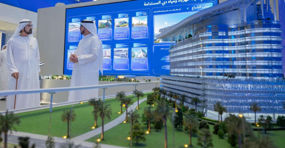 H.H. Sheikh Mohammed opens DEWA's 'largest, smartest net-zero energy' HQ
 UAE to restore Umayyad Mosque in Syria's Damascus
 WATCH: Dubai driver caught for reckless stunts on high-speed highway
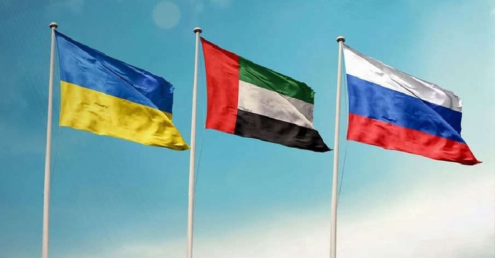 UAE brokers new round of Russia-Ukraine prisoner exchange
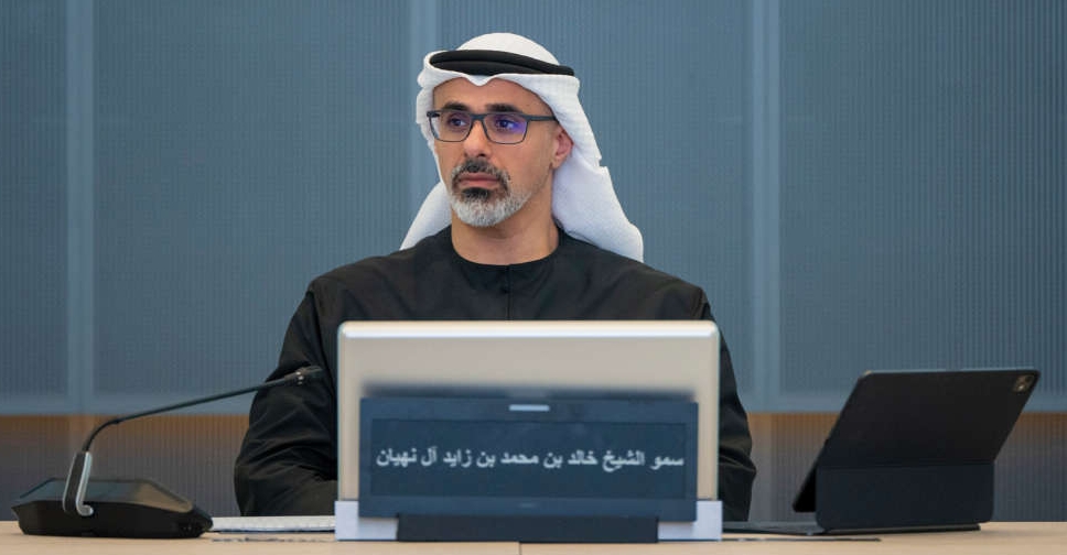 H.H. Sheikh Khaled briefed on West-East oil pipeline project
 Dubai's RTA impounds over 9,000 cars in 2025 for illegal parking
 UAE condemns attack on Indian-flagged ship off Oman coast
 UAE, UK ministers discuss regional stability, bilateral ties
 H.H. Sheikh Hamdan reviews operations, developments at Jebel Ali Port
 Drugs hidden inside passenger’s body seized at Abu Dhabi Airport
 UAE President, Montenegro PM discuss stronger bilateral cooperation
 Fujairah says pipeline work triggered fire in petroleum industries area
 Yas Island announced as location for Sphere Abu Dhabi project
 Warning issued on dangers of sudden road stops after 1 dead, 19 injured
 UAE says reports of Israeli PM Netanyahu's visit 'entirely unfounded'
 UAE launches platform to help Emiratis choose 'right academic, career paths'
 Dubai Customs foils attempt to smuggle endangered bears through airport

